


Page 77 - LIT-18626-13-38
P. 77
UF3X13E0.book Page 68 Tuesday, September 28, 2021 12:57 PM
Instrument operation
EJU46870
Satellite status confirmation (“Satellite TIP
Status”) The deeper the depth, the lighter the color
You can check information related to satel- of the water area. The shallower the depth,
lites that can be detected in the area. the darker the color of the water area.
When “SAFETY CONTOUR” is set to
“OFF”, the color of the water area is dis-
Satellite played in white.
Satellites: 3 EJU46890
Map display settings (“Chart Setup”)
You can switch between showing and hiding
Time (GMT): 6:22 AM
information displayed on the map screen. Se-
Latitude: 34.69164 lect an item to switch between showing and
hiding the item. The following display infor-
mation can be switched.
EJU46880 “GRIDS”
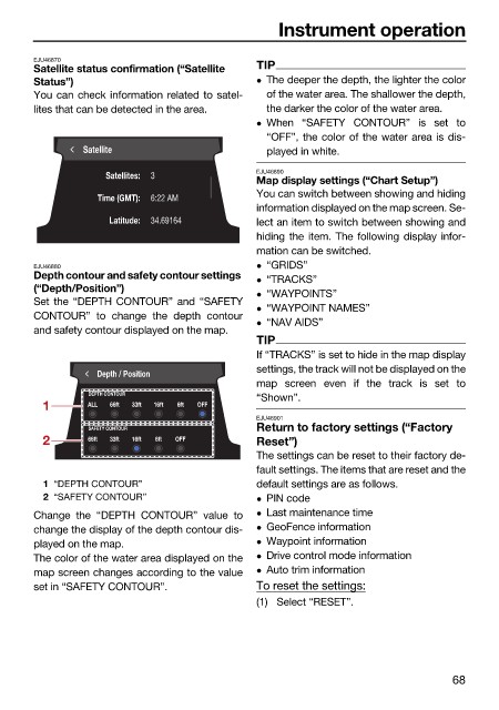
Depth contour and safety contour settings “TRACKS”
(“Depth/Position”) “WAYPOINTS”
Set the “DEPTH CONTOUR” and “SAFETY
“WAYPOINT NAMES”
CONTOUR” to change the depth contour
“NAV AIDS”
and safety contour displayed on the map.
TIP
If “TRACKS” is set to hide in the map display
settings, the track will not be displayed on the
Depth / Position
map screen even if the track is set to
DEPTH CONTOUR “Shown”.
1 ALL 66ft 33ft 16ft 6ft OFF
EJU46901
Return to factory settings (“Factory
SAFETY CONTOUR
2 66ft 33ft 16ft 6ft OFF Reset”)
The settings can be reset to their factory de-
fault settings. The items that are reset and the
1 “DEPTH CONTOUR” default settings are as follows.
2 “SAFETY CONTOUR” PIN code
Change the “DEPTH CONTOUR” value to Last maintenance time
change the display of the depth contour dis- GeoFence information
played on the map. Waypoint information
The color of the water area displayed on the Drive control mode information
map screen changes according to the value Auto trim information
set in “SAFETY CONTOUR”. To reset the settings:
(1) Select “RESET”.
68

